Itinerary
 |
 |
 |
 |
|
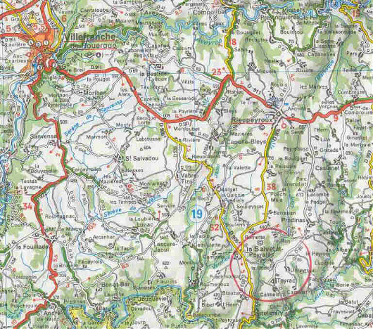
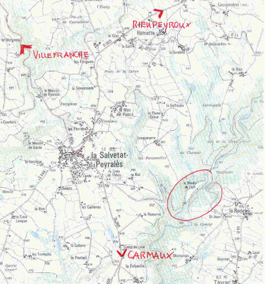
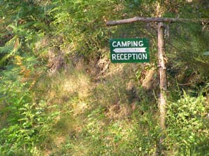
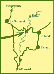
In La Salvetat take direction Carmaux. As soon as you are outside of the village of La Salvetat, take left direction Tayrac and follow that road down hill for 2 km. You will see on your right the entrance of the camp |
 |
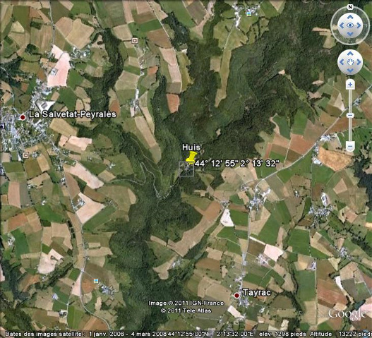
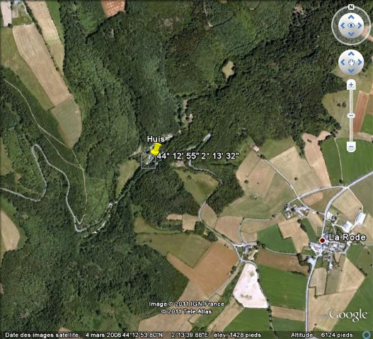
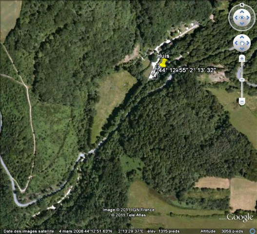
Coördinates GPS / Google Earth :
Lat: 44.215276ºN Long: 2.225554ºE
Bg: 44º 12' 55" Lg: 2º 13' 32"
Maps
France,Michelin (nr 989).
Michelin Midi -Pyrénées (nr 235) and
Institut Géografique National, série bleue, La Salvetat Peyralès (nr 2340 O)